 Altădată
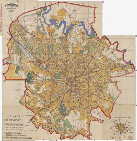
Map · 1934
Wahing Plan
 Open the map ›
A plan of Bucharest from the 1930s, the period when the northern area and the Colentina lakes were being redeveloped.
- Scale: 1:15,000
- Source: Georeferențiere: romania594.blogspot.com
- Original file
Other maps
- Previous map: 1931 · Unirea Plan
- Next map: 1938 · Aerial photo 1938
- Maps of Bucharest