 Altădată
Maps of Bucharest
45 old maps, aerial photos and satellite images, from 1790 to today, laid over the present-day city.
Maps
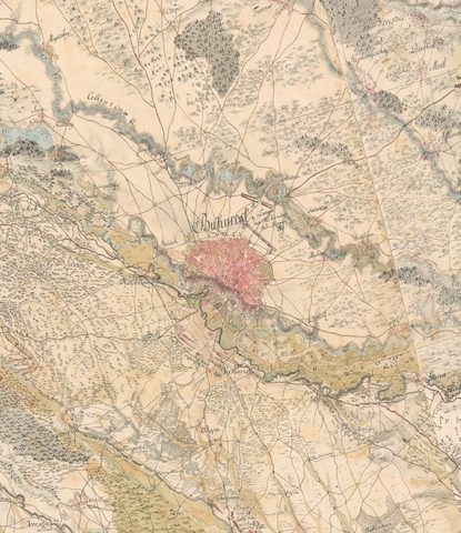 1790Specht Plan
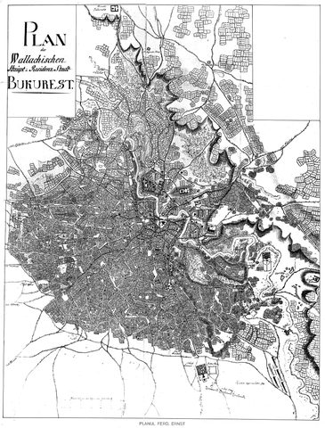 1791Ernst Plan
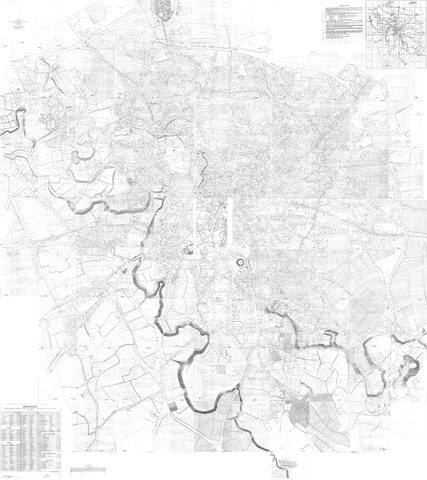 1846Borroczyn Plan
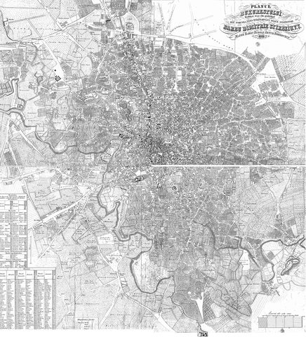 1852Borroczyn Plan
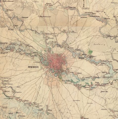 1864Szathmari Plan
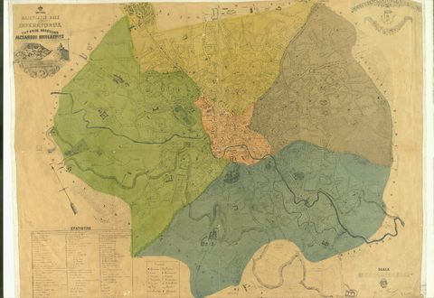 1871Pappasoglu Plan
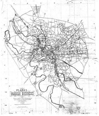 1883Cerkez Plan
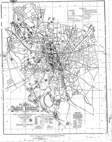 1893Orăscu Plan
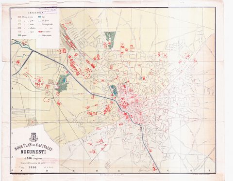 1896J. Don Plan
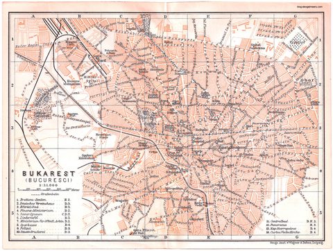 1900Plan of Bucharest 1900
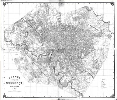 1911Army Geographic Institute Plan
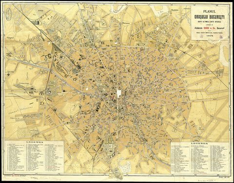 1914Socec Plan
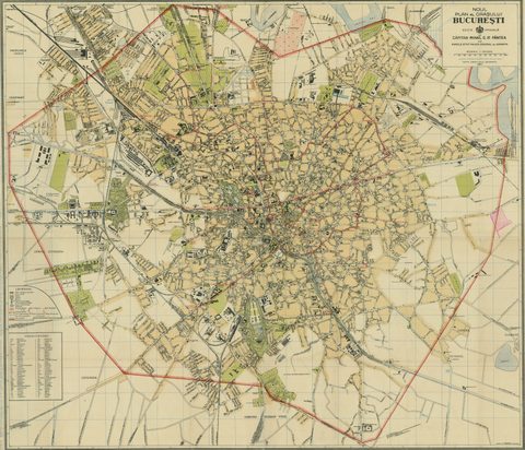 1921Mihai Pantea Plan
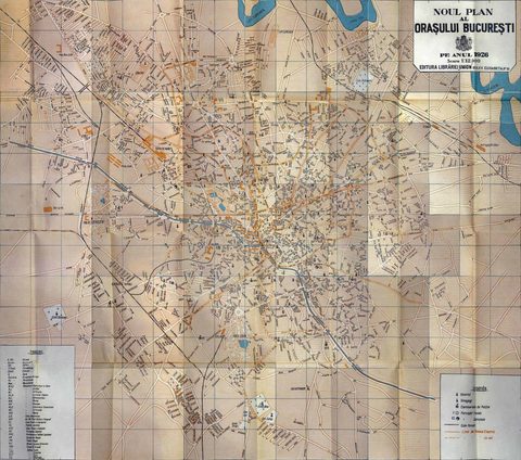 1926Union Plan
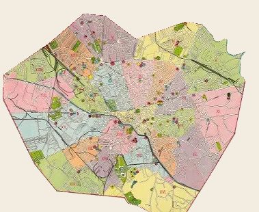 1927Socec Plan
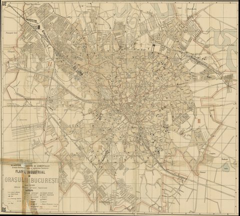 1928Industrial Plan
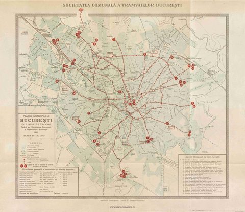 1931STB Plan
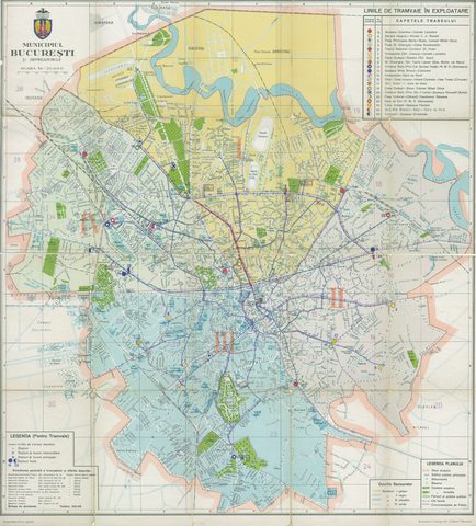 1931Unirea Plan
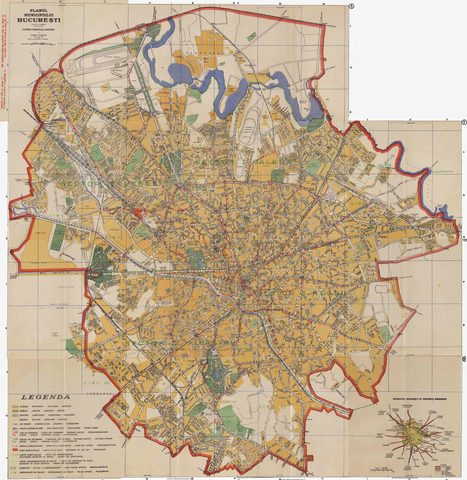 1934Wahing Plan
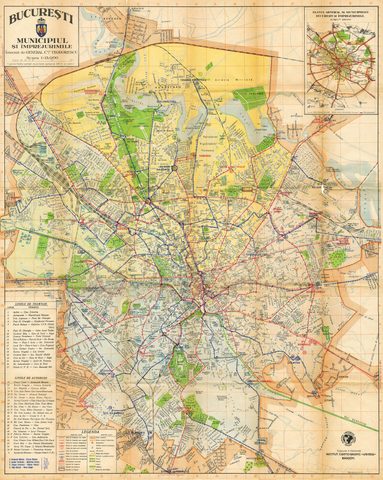 1938Teodorescu Plan
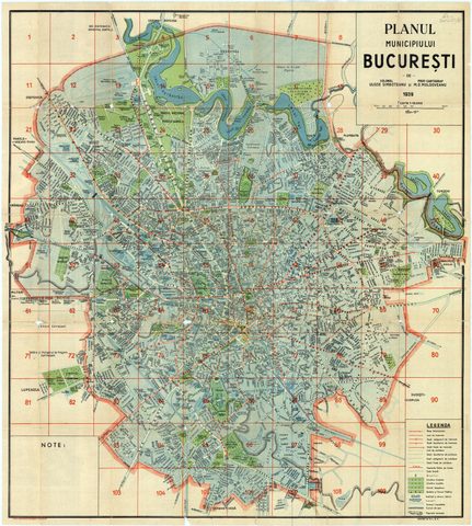 1939Simboteanu and Moldoveanu Plan
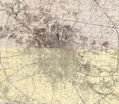 ~1940Artillery Firing Plans
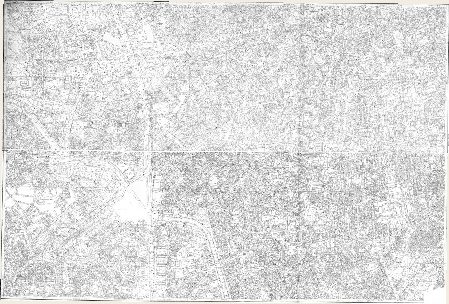 1962Cadastral Plan (center)
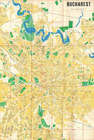 1968Map of Bucharest 1968
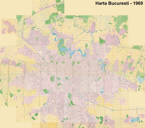 1969Map of Bucharest 1969
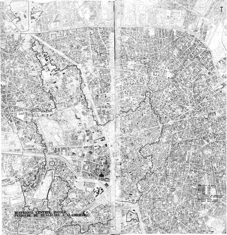 1974Cadastral Plan (center)
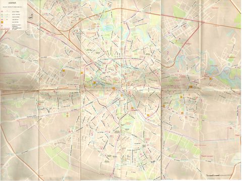 1982ITB Plan
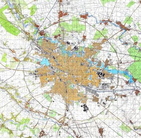 ~1985Soviet Topographic Map
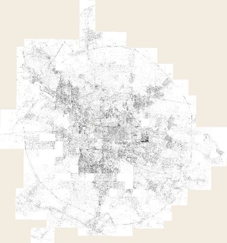 1990Cadastral Plan
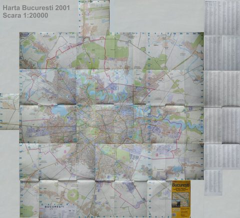 2001AGC Polonia Plan
Aerial photos and satellite images
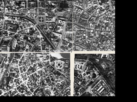 1927Aerial photo 1927
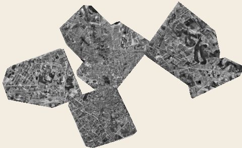 1938Aerial photo 1938
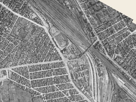 1943Aerial photo 1943
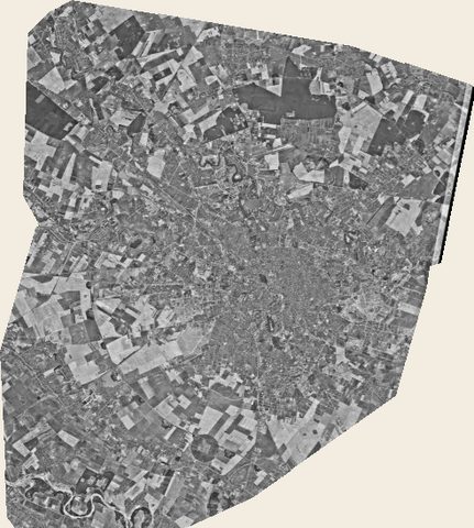 1966Satellite image 1966
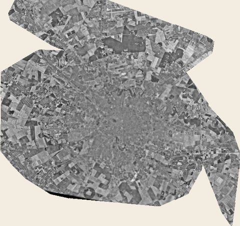 1972Satellite image 1972
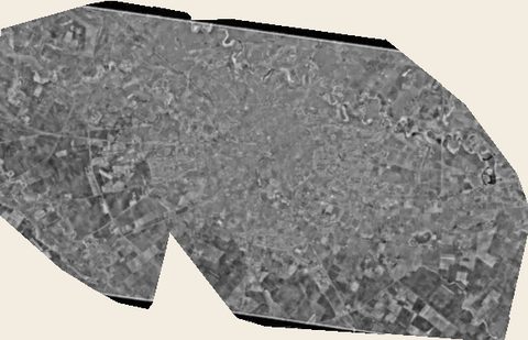 1976Satellite image 1976
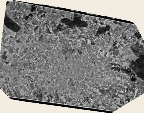 1977Satellite image 1977
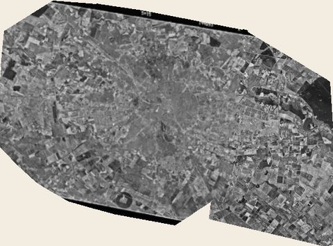 1978Satellite image 1978
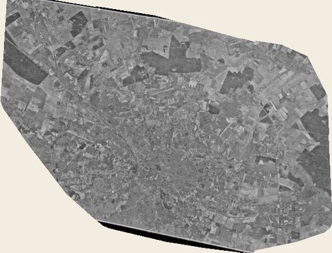 1979Satellite image 1979
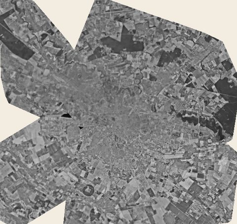 1980Satellite image 1980
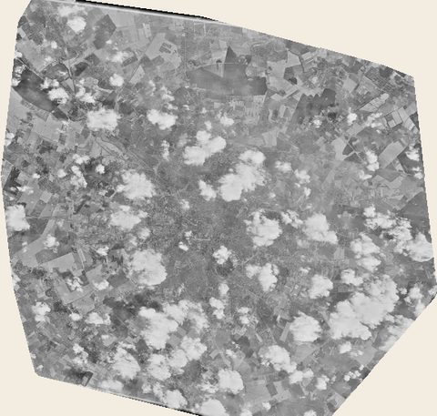 1982Satellite image 1982
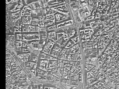 1983Satellite image 1983
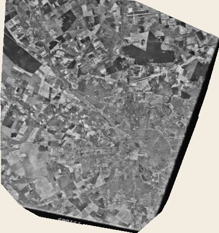 1984Satellite image 1984
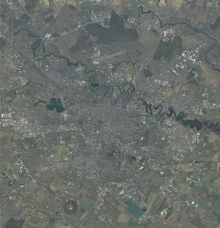 2017Orthophoto 2017
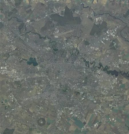 todayCurrent satellite